The Hidden Rivers Walk is a collaboration by North Brooklyn Parks Alliance and Billion Oyster Project.
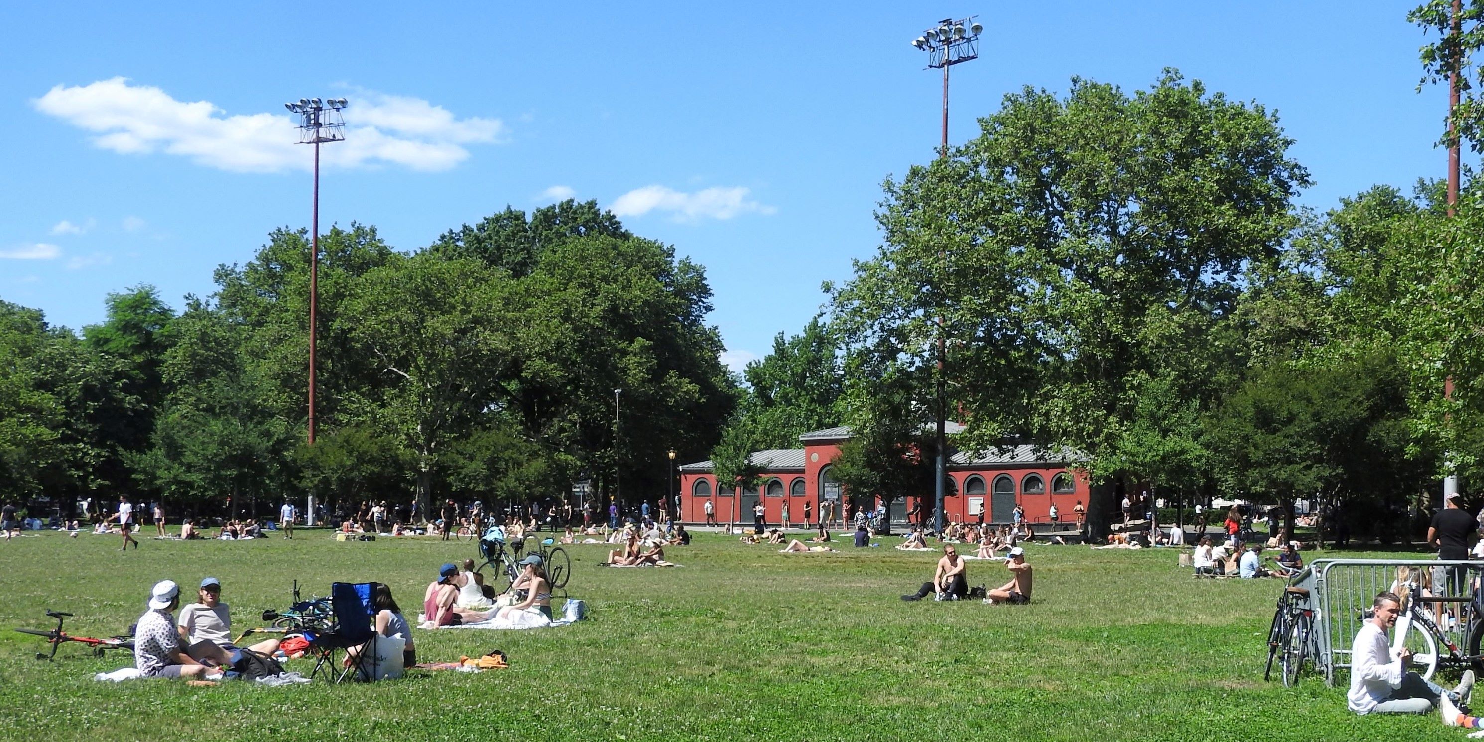
Using a historic watershed map created by urban ecologist Eymund Deigel, the walk will start at McCarren Park, following the pathways of “hidden rivers.” We’ll discuss how these tidal waterways were buried in the 19th and 20th century and rerouted into sewers to make room for the development of modern communities, which today are often sites of flooding. We’ll make our way to Bushwick Inlet, where we’ll discuss ecological and industrial history and modern community activism.
The walk ends at Transmitter Park where the watershed is visible, with a discussion about water quality, storm water, and sewage. This walk coincides with Riverkeeper Sweep, a day of action for our waterways. We may have additional special speakers!
Accessibility
The walk has moderate to high accessibility; we are near several CitiBike stations, and the G and L trains. The tour route moves through NYC Parks and public sidewalks– it is fully accessible to wheelchair users.
Location Information
RSVP is required and capacity is limited. Meeting location, ending location, and directions will be provided via email before walk date.
guided
Saturday, May 4, 20243:00 PM
2 hours
Borough: Brooklyn
Theme: Environment, History & Culture
Language: English